The 12 O’Clock Hills is a local and popular name for a group of hills that lie South East of Kilkishen between the townland of Belvoir and the small settlement of Oatfield. The tallest hill is Knockanuarha at 309m. It is thought that the name derives from a tradition of telling the time by observing the position of the sun in relation to these landmarks.
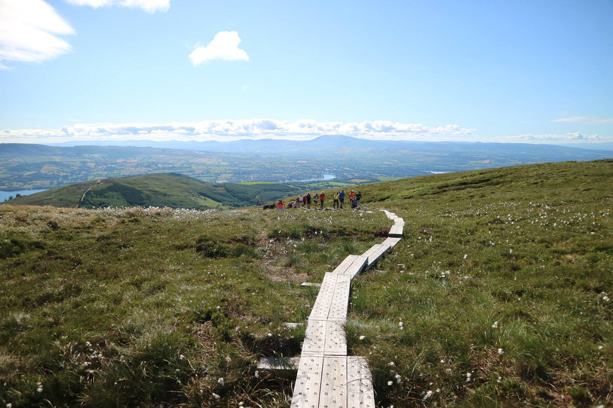
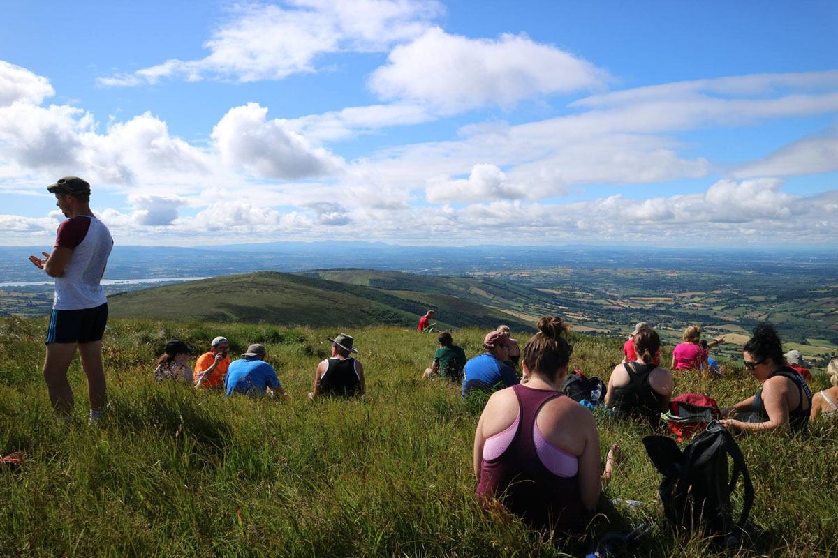
From these 12 O’Clock Hills, much of County Clare is on view including West Clare, the Burren and the Shannon Estuary while locally Kilkishen village, Cullaun Lake and Steele’s Turret are prominent. With a little effort, the town of Ennis and many of the villages of East Clare will reveal themselves. Then the attention may be drawn to an attempt to identify the many lakes and bog lands, castles and woodlands. Maybe after a little refreshment and if the day is exceptionally clear, the gaze might lift to the distant horizon; here is an opportunity to pick out the high mountains of every county in Munster.
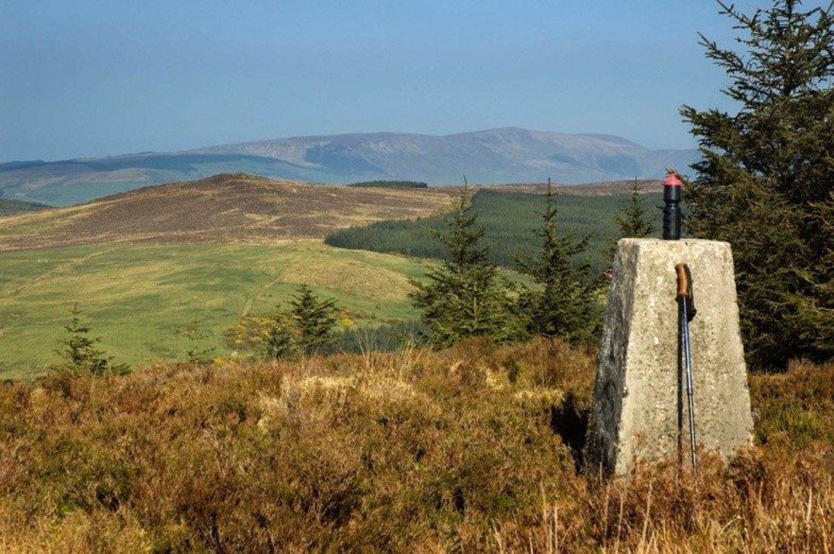
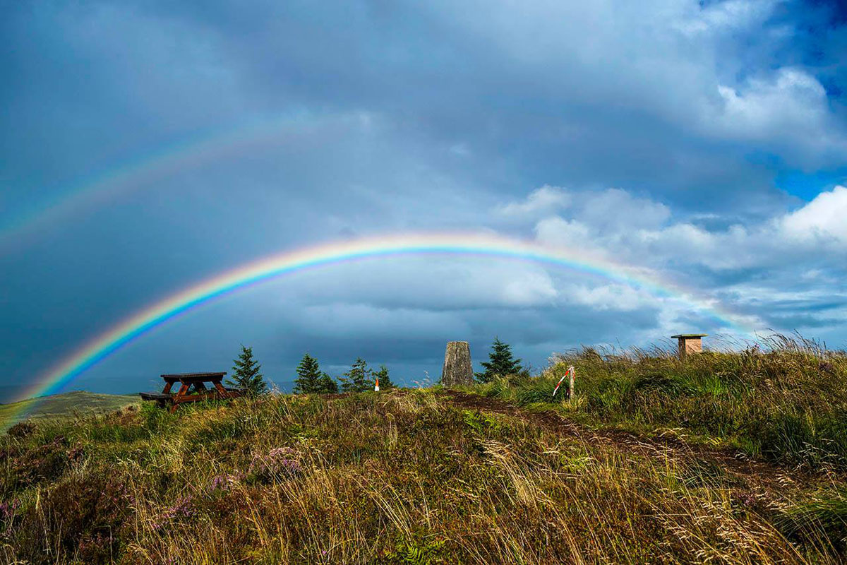
The 12 O’Clock Hills are part of the Slieve Bearnagh Mountain Range in East Clare, Ireland. They are located in a line of hills stretching to the southwest from Broadford. The main peak Knockanuarha is 5k to the southeast of Kilkishen Village. Its height is 309m (1014 feet) and it is marked by an Ordnance Survey Triangulation Pillar and laterally a compass/sundial. Knockanuarha has a twin which is 400 metres to the west-south-west and about 10 metres lower.
It is thought that the name 12 O’Clock Hills comes from the local tradition of telling the time by noting the position of the sun against these peaks. On a clear day, all the high mountains of Munster can be seen as well as mountains in Connemara. Quite often the Shannon Estuary can be observed as well as Ennis town, Kilkishen and many of the villages of East Clare with West Clare and the Burren in the background. All around there is the natural tapestry of lakes, bogs and woodland dotted here and there with the ruins of ancient castles. Many of the places of interest can be identified using the compass/sundial.
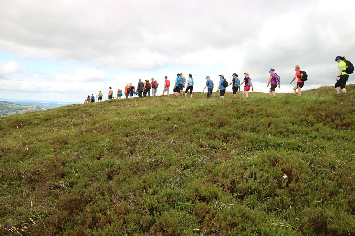
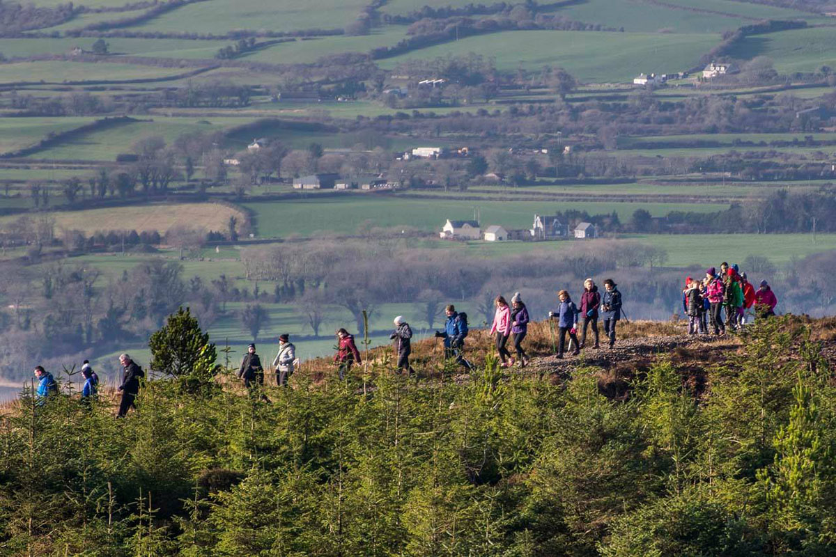
There are two main trails. The 5k Heritage Looped Walk is ideal for people with an interest in local history and requires a modest level of fitness. The longer 8.5k Looped Walk goes all the way to the two summits and requires a somewhat greater level of fitness. This loop includes all of the Heritage Loop. Both loops are quite scenic including pine needle covered paths through the forest with river and stream features. The vistas expand reaching the open mountainside near the top with 360-degree views. There are information boards at the two trailheads with route maps, difficulty levels, safety information etc. All critical junctions on the routes are signposted.
place Kilkishen, Clare, Ireland
stay_current_portrait 0879924057
link Visit
